Rapid Flood Mapping from Orbit
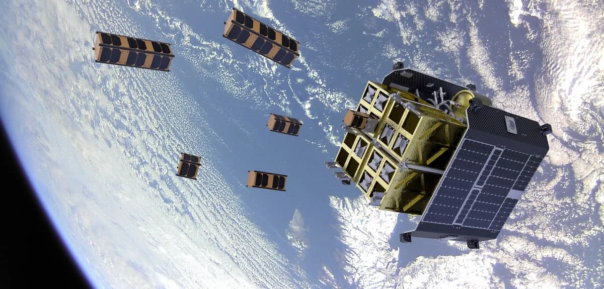
D-Orbit ION Satellite Carrier over Scotland. Credit: D-Orbit.
During FDL 2019, the Disaster Prevention team developed an innovative rapid flood-mapping system that can run on low-cost hardware in space. The original research - called WorldFloods - was published in Nature Scientific Reports and was recently demonstrated in orbit, on board D-Orbit’s ION satellite carrier Dauntless David, running on the Unibap Nebula compute module.
Read more at the University of Oxford News Page.
The WorldFloods in-orbit demonstrator was built in partnership with ESA, the University of Oxford, D-Orbit, Unibap and Trillium Technologies.

